By Robin Leathley
When I first heard that people ran for 24 hours on the track, I had to know more about it, I was immediately Track-urious. Chatting to GB 24 hour athlete Michael Stocks 2 years ago, I said I was intrigued by the whole thing, his response was “well you’ll definitely do it then”, and he was not wrong! Fast forward two years and I’ve been training harder than ever, surpassing any of the training blocks I’d ever done before.
Training had gone so well, I’d managed multiple weeks in a row of over 100km, with double threshold sessions and back-to-back long runs. I felt ready to take on the challenge. I’d never really managed that sort of distance or intensity before, normally if I even got close to that it would be one lone week and I’d be exhausted but I was ticking everything off.
Being lucky enough to co-host RunUltra’s podcast, I prepared questions for people I knew had spent 24 hours on the track before. I’d read Michael Stocks “One Track Mind” documenting his journey to run over 150 miles around the track and make the GB team at 49 years old. This is the amazing world of 24 hour running; the levels of endurance you build up over many years of running can leave the door open to a GB vest when you’d have thought it was just up to the young guns. I also read Susie Chan’s “Trails and Tribulations” which contained a chapter on her 24 hour track race at Tooting in 2018. It’s fair to say she didn’t enjoy it very much; she touted it as being one of the most difficult things she’d ever done. “Hmmm, how difficult?” I thought.
Further chats with incredible ultra runners Debbie Martin-Consani and Laura Watts on the podcast reaffirmed this. It was tough, both physically and mentally. More ticks for me, this was difficult and pushed people to their limits, that’s what I wanted to experience and what I hadn’t experienced yet in running. This was for me, I was in.
I became obsessed, as I usually do when taking on a new challenge, hoovering up as much information as I could on the event. How could I get round, how could I avoid any common pitfalls for beginners, I was determined not to be another newbie statistic who didn’t take it seriously. This is where the ultra running community begins to shine, there’s a thirst to help everybody else succeed and where three particular mantras would stick with me the entire race:
Eloise Eccles (GB 24 Hour) – “Keep moving always”
Sophie Power (GB 24 Hour) – “5% discomfort, no more”
Holly Stables (Elite runner) – “Don’t be a c*#t”
Michael Stocks generously gave me an hour of his time to quiz him on all the finer points and furthermore, the GB record holder, Matt Field, helped verify my thoughts on the Nike Alphafly 2, who agreed it was the shoe for him. Quite bizarre that people have agreed the Alphafly 1 isn’t quite as suited (they vary in mm of drop), although Matt mentioned fellow GB athlete Robbie Britton swears by Alphafly 1s. Isn’t ultra-running absolutely incredible that you can speak to all these top tier athletes about the finer points of the sport? I can’t imagine there are many other sports like it, what an incredibly blessed community we have.
I’d focused on all the kit and the running but there were still two large parts missing if I was to succeed: the nutrition and the crew. This is where my wife Jen stepped in. She read Renee McGregor’s new book “Fuel for Thought” and was telling me what to eat on training runs and what to eat in the build-up to the race and when, such hugely valuable information. We didn’t wing it by any extent; we were doing this properly. Jen especially wanted me to get this right, she’d sacrificed so much in looking after our two kids while I ran and ran, in her words “you’re finishing this race even if you have to walk every step”. Well, I’d better finish then hadn’t I?! Don’t want to be a “c*#t” either… As much as that was tongue-in-cheek by the way, let me tell you, it was amazing motivation.
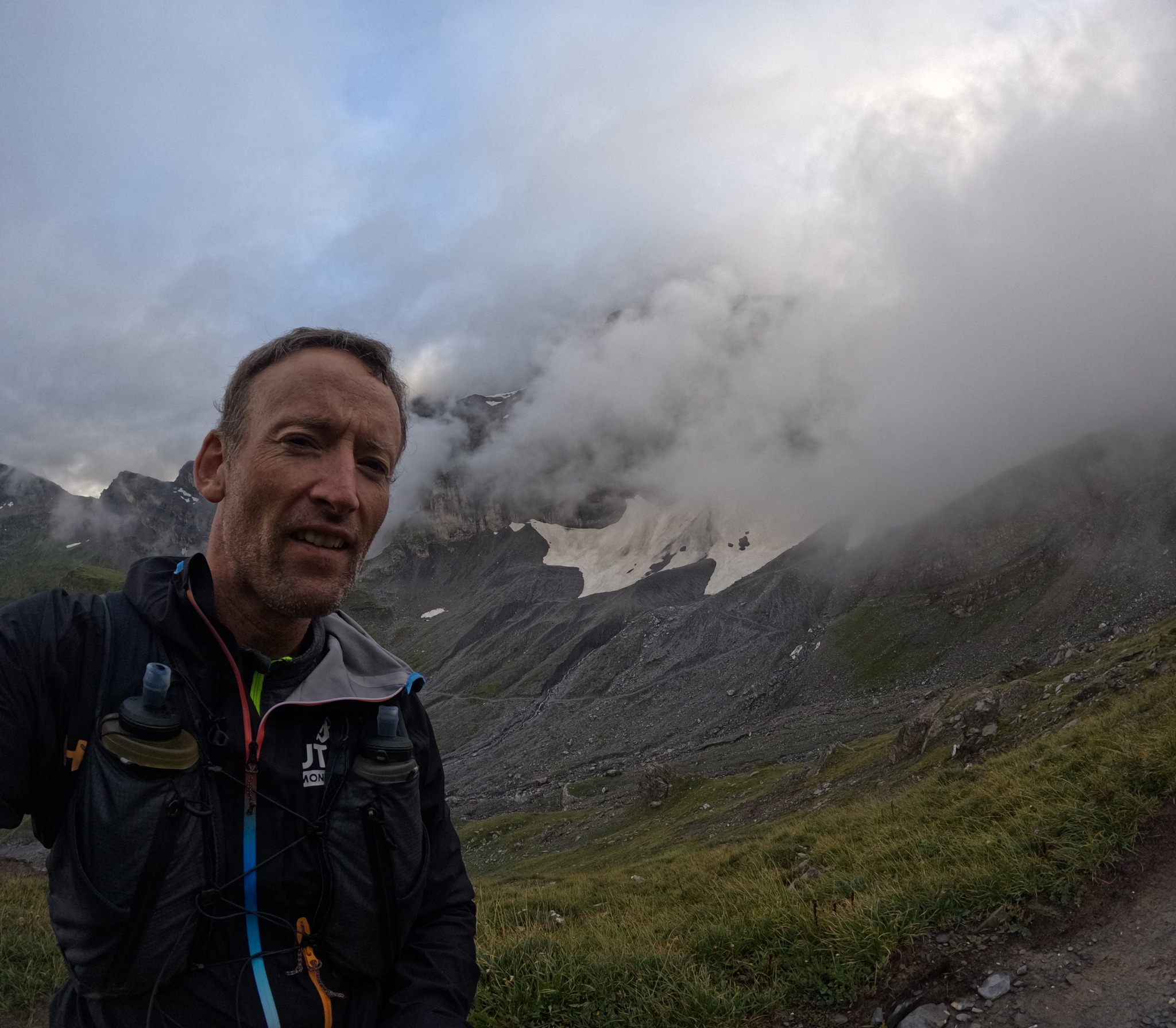
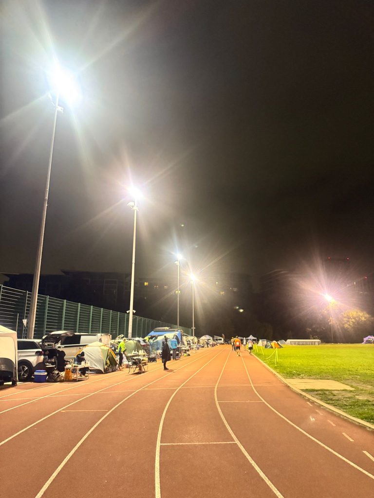
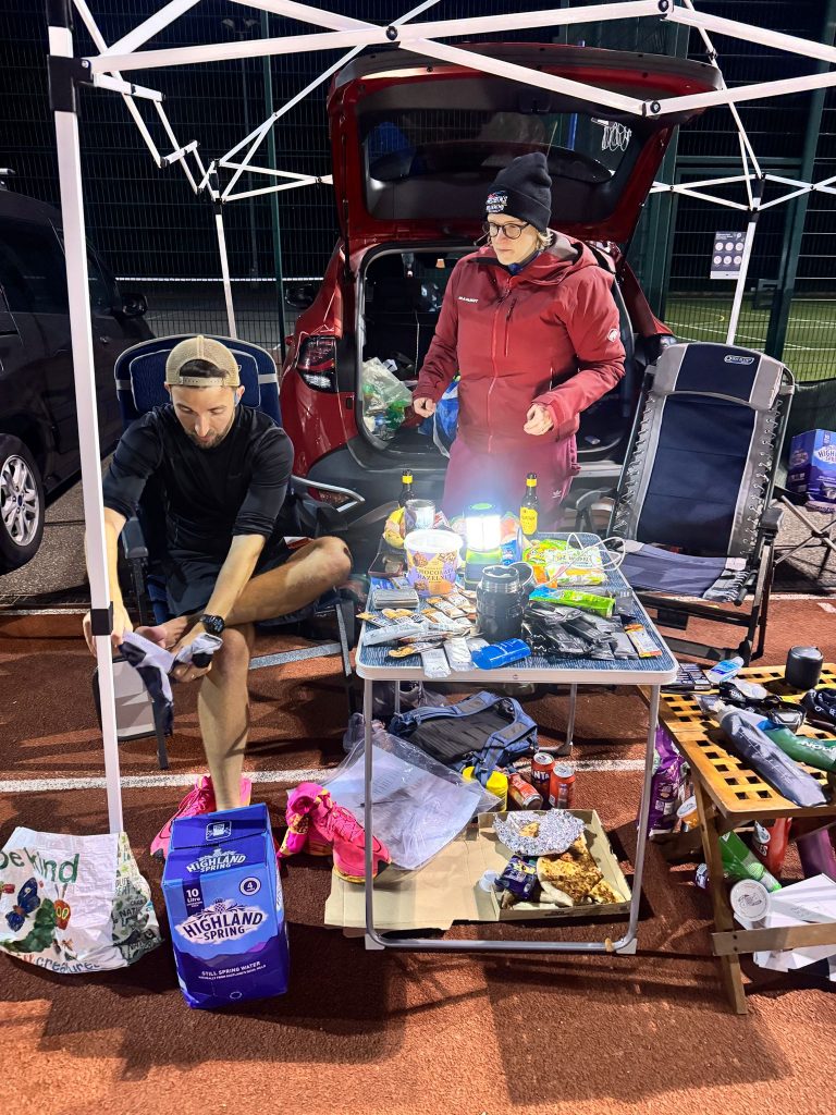
My wife and I arrived at the track early Saturday morning and were guided to our spot trackside. You’re allowed to park on the side and take up 2 1/2 lanes of the outer lanes of the track. The rest of my crew filtered in shortly after. Gildas who had dramatically finished UTS100m earlier this year, Clair who finished South Downs Way 100 and my sister who is one of my biggest supporters in life no matter what I do.
The briefing was nice and straight forward. The main thing to note about having 55 people racing around a track is how they manage the differences in pace. You’re told to run on the outer line of lane 1, leaving room enough for people to pass you on the inside, if there isn’t room you can say “track” to let them know you’re coming through.
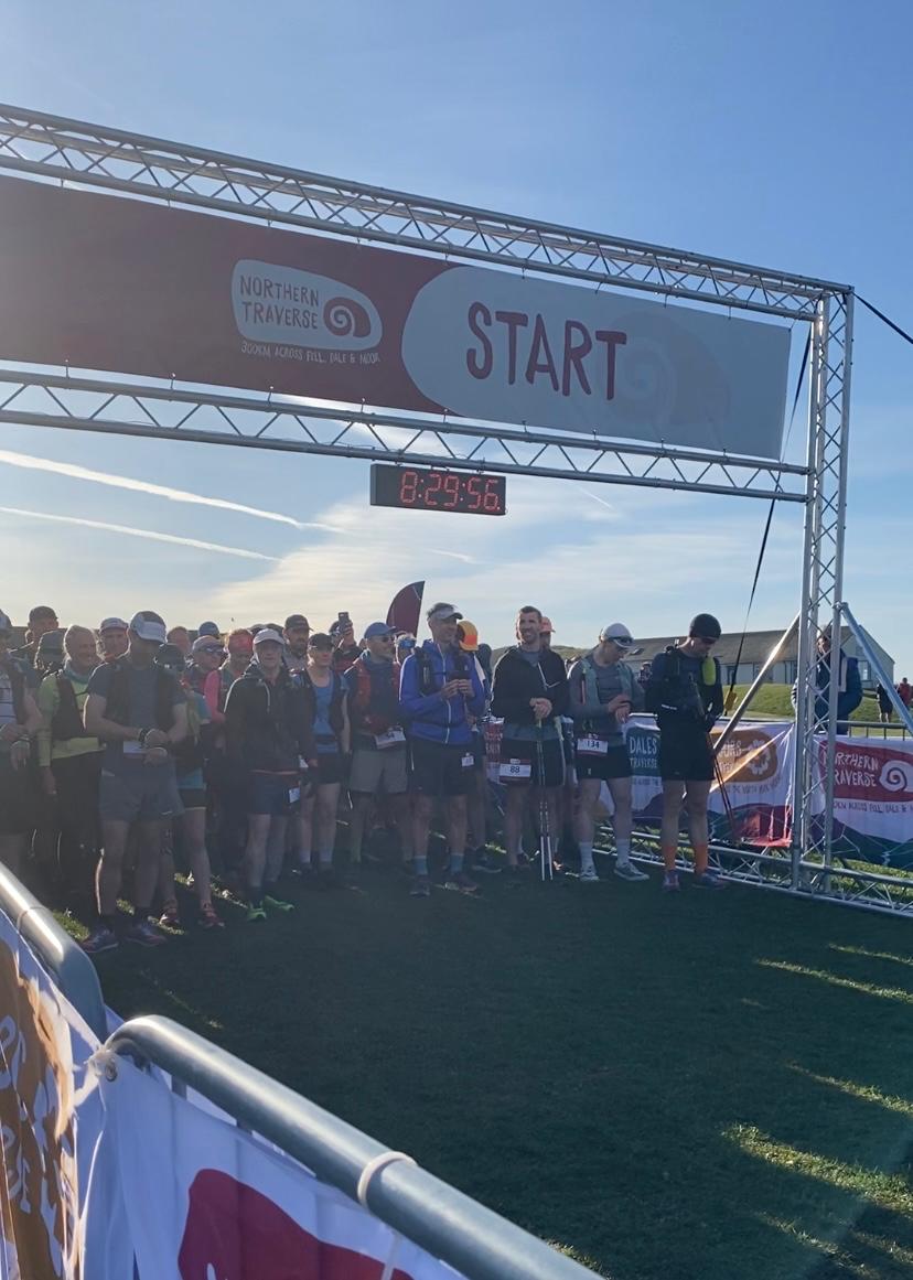
Before you know it, we’re all on the start line, months of training and hard work, all ready to be tested. I felt excited, nervous but most of all ready to give it my best. 3, 2, 1 and boom, off went an audio clip of a gunshot. The race had begun. As Ben Parkes says, “let’s get this done”.
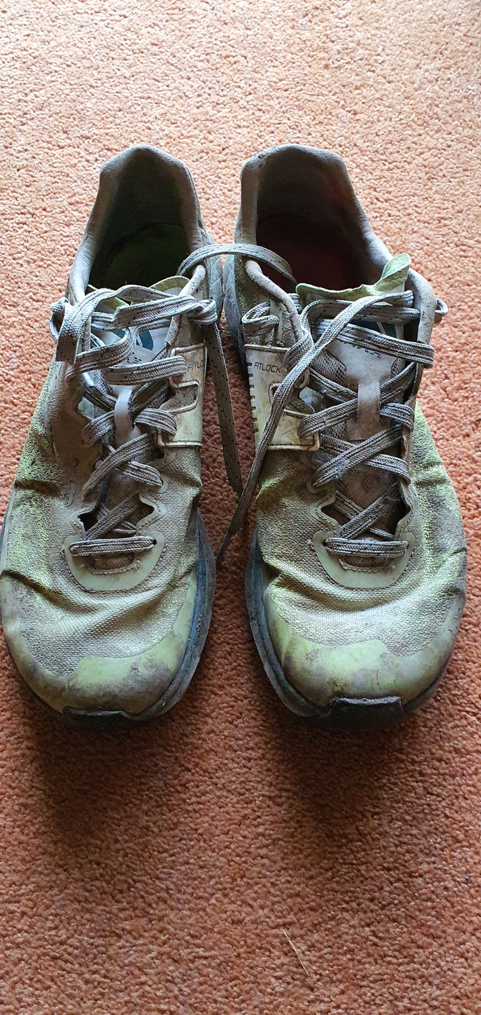
The weather was quite warm and would get up to around 21C, which isn’t hot but it’s enough for this race to make you reconsider your starting pace. I’d wanted to go out around 5:20/km but dropped that to 5:45/km, I really didn’t want to make any mistakes and go out too hard. You all settle in fairly quickly and the laps start ticking by nicely. I recall saying to my crew about half an hour in “piece of p*#s this!” It was a joke okay?
My plan to consume unholy amounts of Maurten 320 along with alternating gels was going well and I kept my pace honest without overstepping my mark those opening few hours. I felt strong and was fuelling nicely. Every 4 hours the runners change direction and are channelled around a few cones. My crew tried to make a big deal out of it, congregating at the start line and singing and cheering people around it, celebrating the 4 hourly achievement. It was so nice to have them there making a big deal out of these little milestones, before you know it, your mind starts to slip a little bit from reality at this point and you need quite a lot of noise to break through to you from the sidelines.
I should mention at this point in the actual race, one runner sauntered off to the fence to chat to someone and had a cigarette! It was the talk of the track at the time! Can you believe it? Oh my god a cigarette! It was all we could talk about. I should say he did finish the race and that made it all the more hilarious that he’d pulled it off in a way.
Before we knew it, 5, 6, 7 hours have gone by and fuelling is still going well. That’s all it really boils down to at this point, having a well drilled crew to keep you focused and fuelled to keep up your pace and stay strong! It’s amazing how pathetically reliant you become. Scrolling back through their WhatsApp chat later on it very much reads like trying to get a toddler to eat his vegetables. I recall opting for Maurten 320 over 160, the extra grams of carbs got a chorus of “YOU’RE MAKING GREAT CHOICES” I think maybe I’d fallen slightly off plan. It’s so hard to know, all I knew was the average and current pace on my watch, it felt like I was having quite a lot of nutrition.
8 hours another turn around and soon after I began running with someone properly for the first time, Jack Goldsmith. 10 years my junior, he was chancing his arm at this for the same reasons, a new challenge and it looked difficult. We shared a lot in common and managed to swallow up laps and laps of time, during a really tough 8 to 12 hour slot, this was invaluable to me. My crew were growing concerned, they felt I was slowing as a result of the partnership and falling off pace and they were right, however it was through no fault of Jack’s, it was me that was starting to slow…
I went through the 100K mark at 10hrs 56mins, this was slower than planned and really wasn’t leaving enough of a window to hit my dream 200K goal but my mind was slipping, I didn’t care, I’d already started letting the race win, I told my crew I didn’t care I just wanted to finish, I told Jack the same. None of them wanted me to give it up… but I did, I was losing the mental battle, my mind was winning. “Just finishing this race is enough Robin” “it’s your first 24 hour race; you don’t have anything to prove”. I believed it for a couple hours.
I needed a change, Jack and I had been alternating who ran on the outside of the lane every couple laps, but he was definitely giving me the lion’s share of the inside and the few I had on the outside were getting slower. I told him I needed to keep to the inside and we needed to end our partnership, he told me if I needed any more chat any lap, he’d be there to help. A truly great guy and he really had helped so much in that really difficult stretch of the race, after he shot off, I felt like a hindrance to his race (he ended up finishing 3rd). I pushed on the next few laps and started to pick things back up, renewed with some music, I started to feel like my legs were coming back. Then disaster struck, cramp.
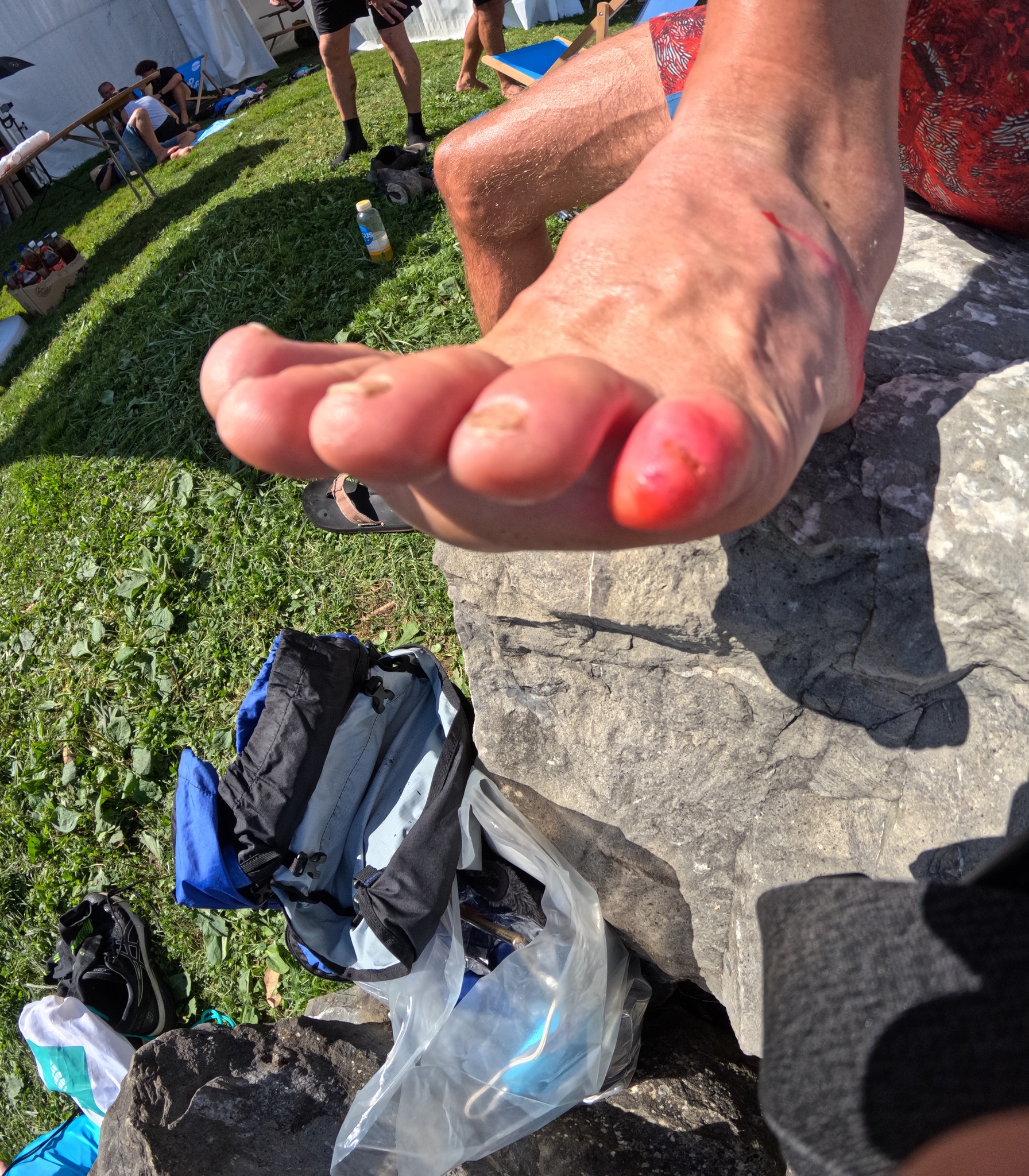
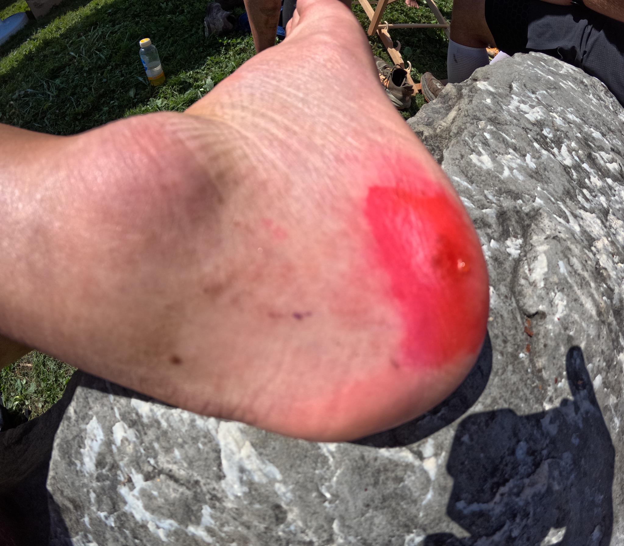
My left calf started to seize up, I tried to run it off, slowing to see if I could ease out of it, nope, it was bad. I’d made it to 125K and truly feared that my race, at least the running portion of it, might be over. Jen gave me a bit of physio massage on it and managed to free it up a bit and we all jumped on the immediate thought of “lack of salt”. I ate what I could, had some extra salt tablets and was sent on my way, but just couldn’t muster the pace I’d had a couple of laps previous. This is where the race really started to spiral and became every bit as difficult as I’d heard it could be. I could barely make it round in under 8:00/km pace, my left leg was sore, my right leg was tired, I’d never ran this far before, was this going to be my story? “Robin, oh he can’t run more than 100k without falling apart, that’s his limit, he’s not capable.”
All of this runs through your head. My running had slowed further. I had been reduced to 2 laps shuffling, 1 lap walking. I felt utterly beaten; there was still 10 hours of the race left. Was I even going to make it to the end?? I didn’t feel worthy enough to finish, this wasn’t a performance I was proud of, I was so much better than this but I couldn’t revive myself, I’d started to cry, I’d let myself and everyone down, I couldn’t believe I was subjecting them to this. Jen had moved to one side of the track and Clair/Gildas the other, in an attempt to keep my spirits up as much as possible, so I didn’t feel too alone. I couldn’t even meet their gaze for a few laps,laps; despite their efforts I was isolating myself.
This is where the track beats you down, the slower you go, the more you have to move wide on corners to let the quicker runners by and for no extra reward. Your distance per lap is only ever recorded as 400m, how far you stray from that, starts to become a massive inconvenience, it’s another voice that starts quiet in your head but gets louder. By this point those voices were many and they were all very persuasive. I told Jen that I really wanted to sit down “but you said, you didn’t want to do that, you wanted to keep moving always”, God damn it I thought, she’s said exactly what I wanted her to, but I’m so bloody annoyed that she’s said it. On I trudged. I even started walking extra bits of the track but only the furthest bits from Jen as I knew she’d tell me off if I were closer. During this section I’d also begun to wee almost every lap, a normal healthy wee but still, it wasn’t normal.
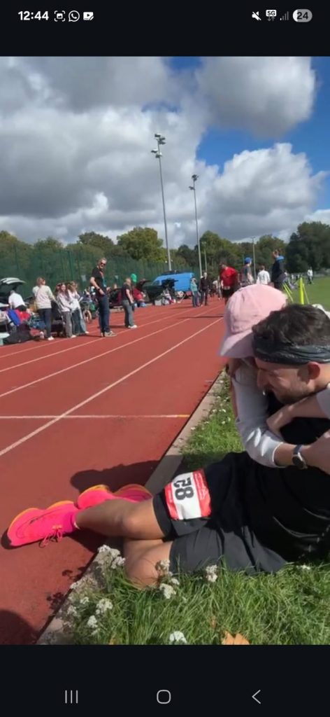
Here’s a little anecdote of what the crew overheard of the couple running next door to us:
Him: [cries]
Her: don’t cry
Him: it’s really hard
Her: I know, that’s why I stopped!
This perhaps sums it up much more succinctly than I have.
Back to my race.
After many laps of the weeing issue, the crew had been brainstorming about why it was happening and fortunately Emily on our WhatsApp quizzed about my salt levels vs my weight and they realised I was still massively under salt and solid carbs by this point. I was given a ham sandwich with a salt tablet crushed in the middle. Truly revolting, but,but I’d actually not felt nauseous the whole race so was able to get it down. By now we were 19 hours into the race and I was only a few away from 100 miles.
Suddenly everything changed.
I realised if I could summon any kind of strength, I could reach 100 miles, my first ever 100 miles, in under 20 hours, that felt worth chasing. Just that one thought, coupled with the food, the salt and the sun coming up, gave me the biggest surge of adrenaline and here comes the comeback.
I honestly get goosebumps even typing this as I’ve never EVER felt this incredible before. The feeling through me at this point was the closest to invincible I’ve ever felt. Every lap towards the 100 mile mark I sped up. Back under 7:00/km at last, 6:45/km > 6:30/km > 6:00/km > 5:30/km. I wasn’t done here, my race wasn’t over, could I dare dream?? How much time had I lost? Could it be…possible…to still get 200k???
I absolutely blasted through the 100 mile mark feeling unstoppable. The first time I’d ever ran that far! 19.32, that meant there was 4 hours 28 minutes left to run 39km. I was so pumped, I was shouting “come on Robin, come on!” I was shouting “come on” and “let’s go” at the staff tents and the timing staff, I was absolutely possessed. I ran past my crew and I shouted pointing to the timing staff “they’re going to say Robin 200k” They looked back in disbelief, they’d seen me the last 19 hours, more importantly the last 7 hours, sure I’d had a few good laps but wasn’t I getting ahead of myself? No. No I knew. I knew right then how I felt. I switched to my Alphaflys that I’d cast aside 9 hours ago. We are charging for this; I am going for it. It’s all or nothing, it’s not over.
5:20/km > 5:10/km > 5:00/km > 4:50/km. I was overtaking everybody, everybody who’d lapped me time and time again. My time was now. I was yelling “track” at everybody, now it was my turn, my turn for the inside line, my turn to push. I had my music on full blast, I didn’t need to listen out for anyone anymore. I overtook the leaders time and time again, I even ran around the outside, it felt like I was making a statement, I was.
For two hours I was the fastest person on the track and it was the greatest feeling I’ve ever had in my entire life. To go from so low, to so high, I’ve never felt such elation, such euphoria. My crew couldn’t believe it, screaming encouragement from the sidelines. They responded as you’d dreamed they would, throwing the perfect fuel my way, fuelling the fire. It felt like a cartoon where I was literally blazing a trail behind me.
I was flying up the leaderboard, I was absolutely unstoppable, I went from 14th>11th>9th>7th! The other runners around me were incredible, “You’re smashing it!” “Great running!” “Keep going!”, they could tell how much it meant to me and they were pushing me round the track (only with words 😉 ) My crew on the side now knew I could make the 200K, I just had to keep going. There was no time to walk now; no time to cramp. I had to pull back,back; there was still two hours to go.
The last push was absolutely exhausting, the adrenaline faded, I tried my best to reignite it but it wouldn’t come back. I had slowed down but I knew the maths, I knew what I needed to do to make it to 200K in time, but the maths meant pain, I had to keep pushing or I wouldn’t make it. 20km to go. Just hold on Robin, please, just hold on.
15km to go, come on legs where’s the fire? Let’s go come on!! I tried again and again to revive that fighting spirit, verbally shouting to myself but it was like a car that wouldn’t start, or more rather, a car that was out of petrol. I’d kept fuelling with gels etc, it was just that point in the race where it didn’t matter much anymore, my body was reaching its physical limit.
10km to go. By this point so many people were around the track to support their loved ones, it made for a great atmosphere and really helped push others for this last hour, but it meant I was again moving to the side BUT I was still moving well enough, my average pace should be enough to make it but it’s going to be close…
A parkrun to go, 10 laps, 5 laps, 4, 3…. I started to get so emotional. I mean my god, to have come back from where I was at 4am, how was this happening, I WAS GOING TO DO IT! I remember being so SO proud of myself, how on earth had I pulled this back?! I was down for the count! I had run my absolute heart out for hours, it was the only way I could make it! Last lap.
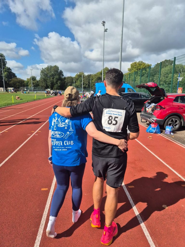
I had other runners already congratulating me on that final lap, they knew what was happening and how much I’d worked for it. I closed down the final straight and crossed the finish line with 14 minutes 12 seconds left on the clock, 200 kilometres, I’d done it. I hugged and cried with Jen and my sister came and hugged me too, she didn’t want to let me go but I had a race to finish, although, my race was already finished. I walked and struggled round 3 more laps in that last 13-14 minutes but they were all victory laps.
We collected our bean bags which you drop behind you when the 24 hours finishes, to mark your final distance on that lap. 3, 2, 1 and it was over. I carefully collapsed to the floor and my crew collapsed with me. We’d done it. 201.3km, 125 miles, 6th place.
That was, without a doubt, a race none of us would ever forget. I feel incredibly lucky to have had them there with me. Without their positivity, problem solving, unwavering belief and focus, there is absolutely NO WAY I could have achieved that. Thank you so much, Jen, Clair, Gildas, Izzy and Emily, I can’t ever repay you for that, it’s a memory I will treasure forever.
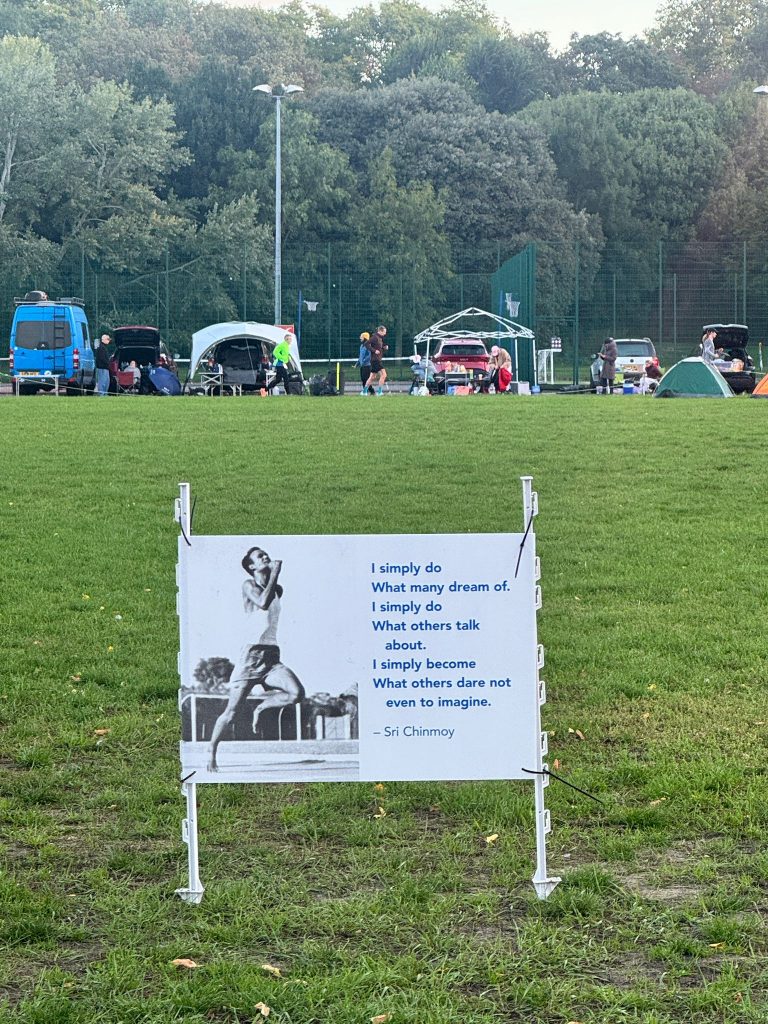
Lastly I’d like to sing the praises of everything about the race itself. The Sri Chinmoy “Self-Transcedence 24 Hour Track Race” didn’t fall short in any area. All of the organisers, volunteers and lap counters were faultless. Shankara, the race director, took a big chance on letting me sign up for this race as I didn’t really have too much credible experience in track running at all, never mind for 24 hours, I’m extremely grateful for having had the opportunity. For the first 4 hours of the race, you had a manual lap counter, just while the track was super busy, to help verify your total. Every lap they would acknowledge you, just giving you a little boost. It can not be easy! The volunteers manning the food and drink tent were always on hand to help anybody with a big smile. Later into the race when I was trying to confirm my distance, the lap counter would always look it up as quickly as possible to read out to me. Amazing from them all and I absolutely will be back. This is just the beginning.
Are you up for the challenge?